Modeling and Understanding using Temporal Analysis of Transient Earth Data (MUTATED)

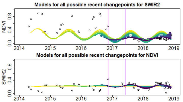
Our job is to build methods capable of very quickly flagging likely changes on Earth’s surface, over very large spatial scales. We will ingest fused multispectral data cubes from the harmonization team, identify places likely to have changed in some way and then pass those areas off to the attribution team for characterization. The main innovations are in connecting all of these pieces together in one pipeline, and figuring out how to process these massive amounts of data efficiently. For a little more information on the context behind MUTATED, check out this news piece from the Center.