Welcome to the
Spatial Ecosystems Analytics Lab (SEAL)
at NC State University!
PI: Josh Gray
Research Interests
SEAL’s fundamental research motivation is to map and characterize global change, and to understand the consequences of these changes for the Earth system and society. Anthropogenic changes to vegetation (e.g. cropping systems, deforestation, etc.) are of particular interest. Example research questions include: How can we feed a growing population without running out of water? Have tropical deforestation mitigation policies been effective? How is vegetation phenology changing in response to a changing climate?
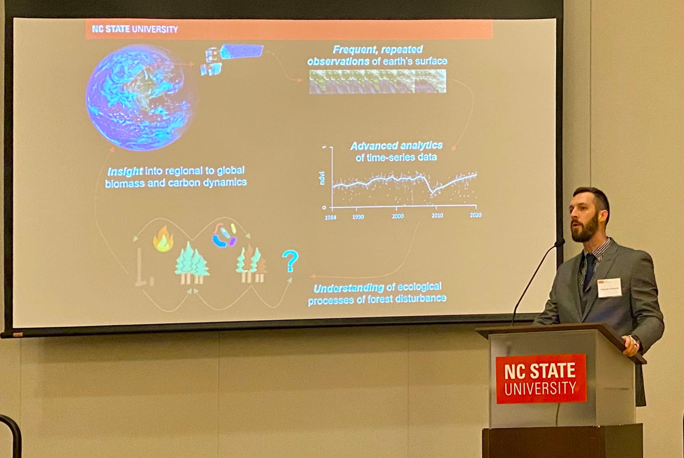
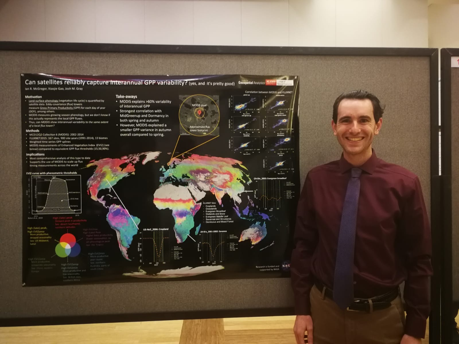
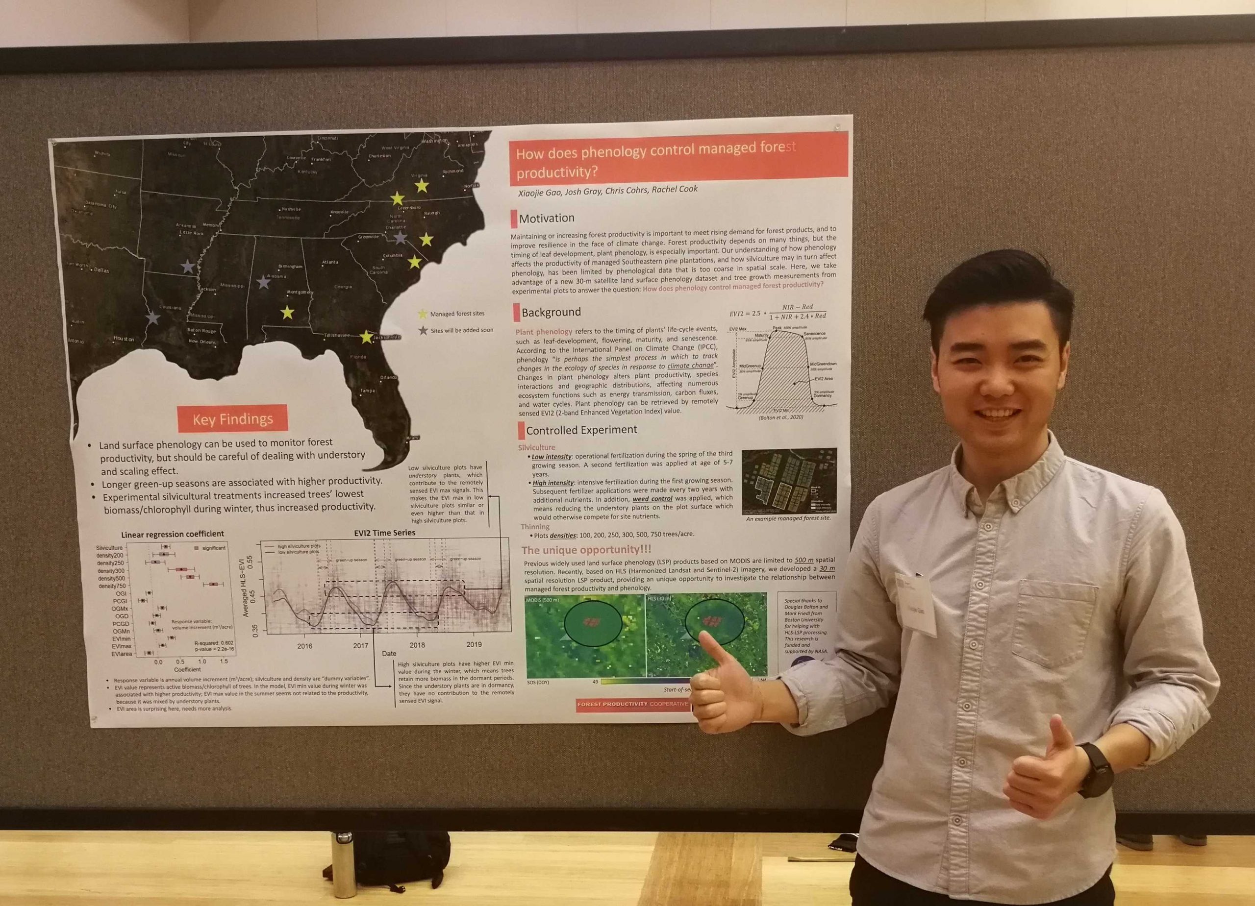
General research topics related to remote sensing
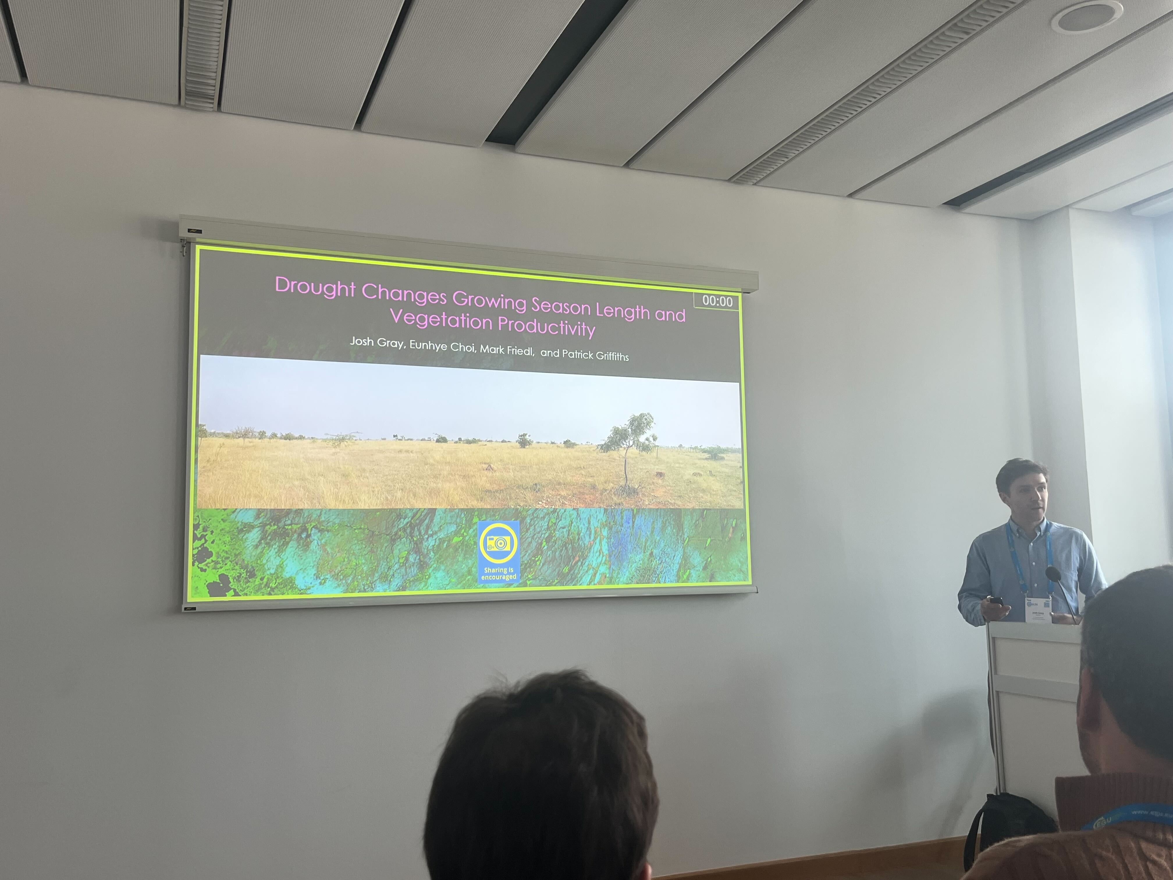
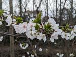
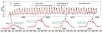
Understand vegetation phenology to infer climate change
Food! Food! Food!
Lab Updates


Recent projects
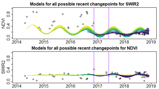
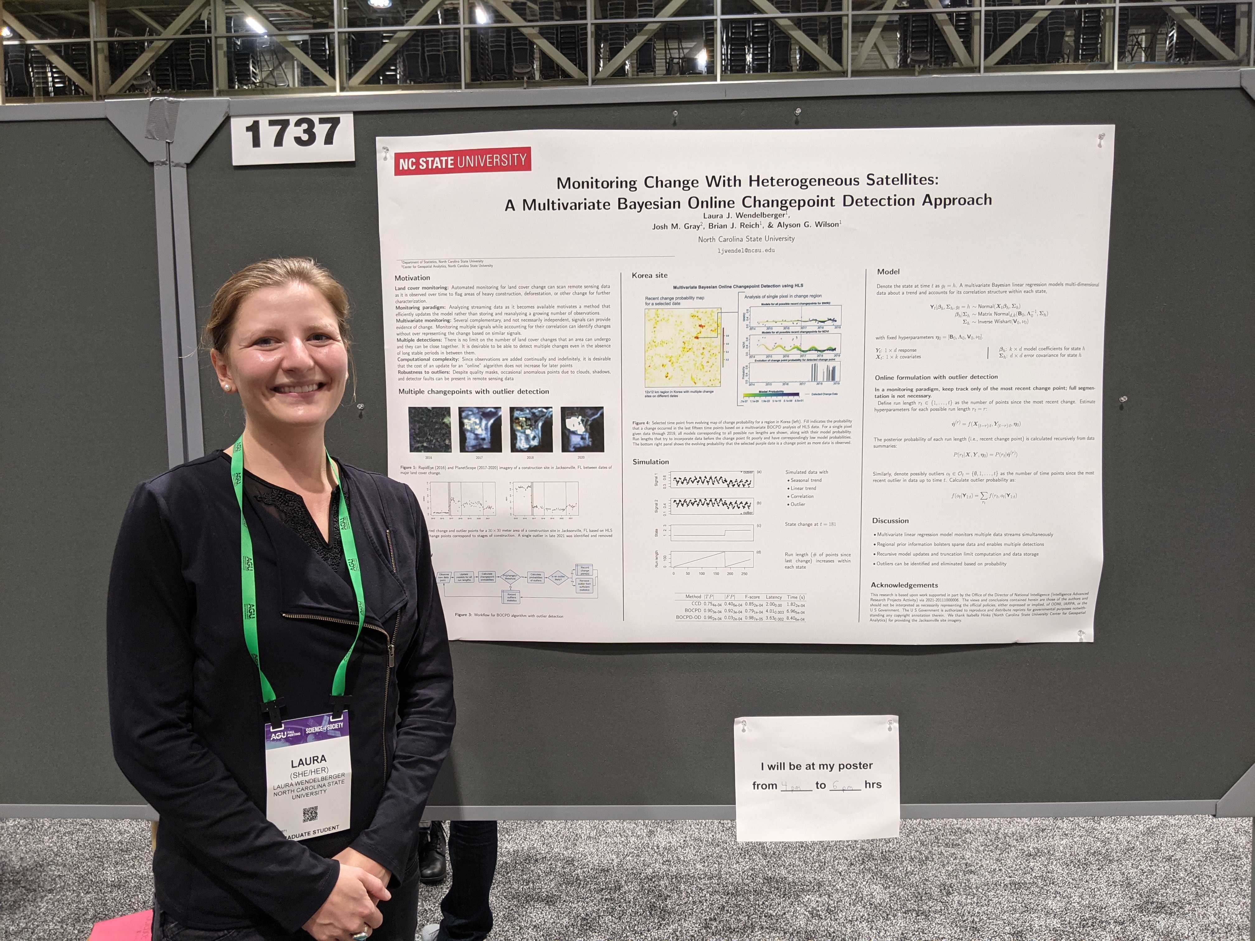
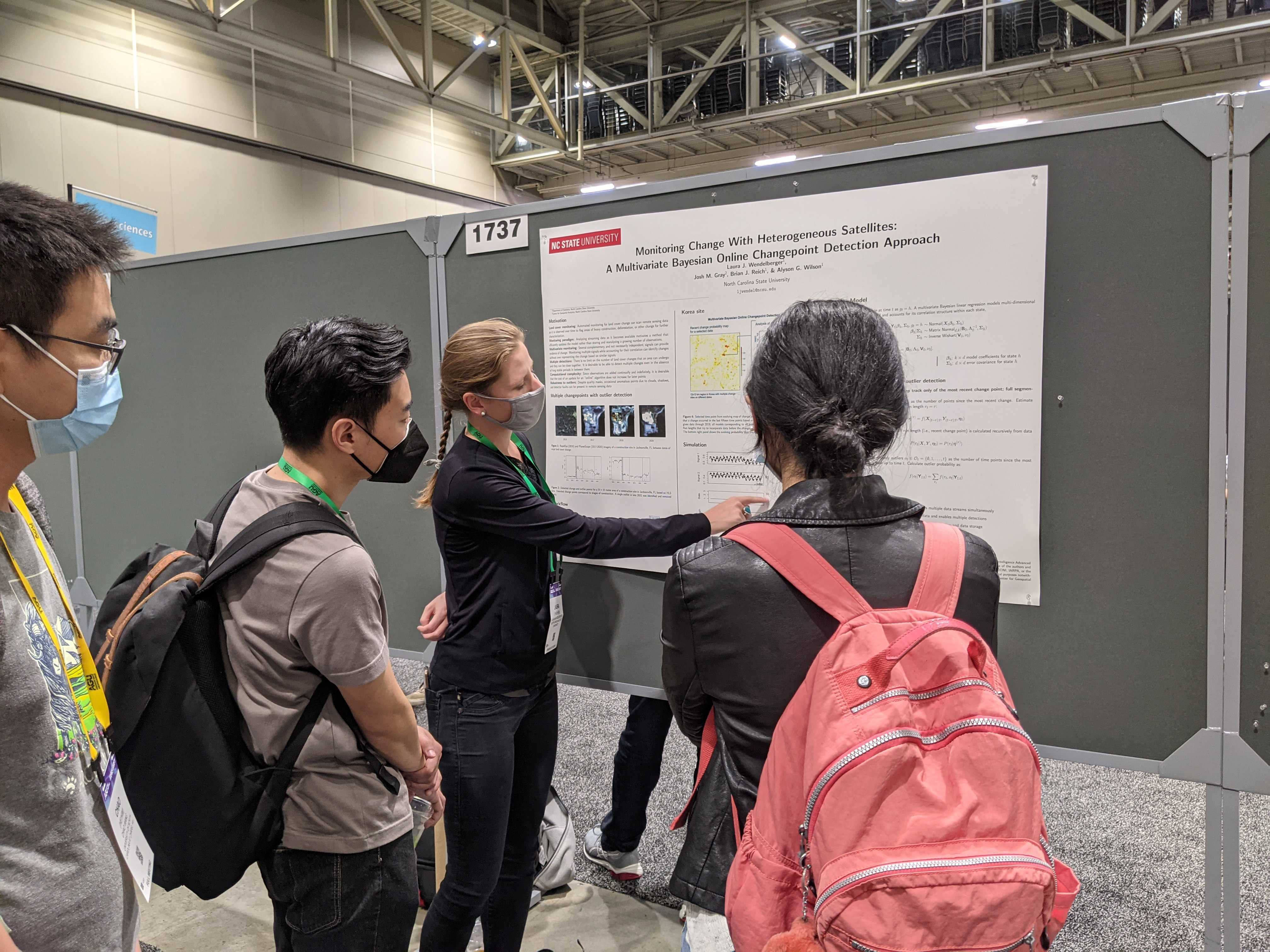
Modeling and Understanding using Temporal Analysis of Transient Earth Data (MUTATED)
This project seeks to develop online methods of change detection across increasing large spatial and temporal scales.
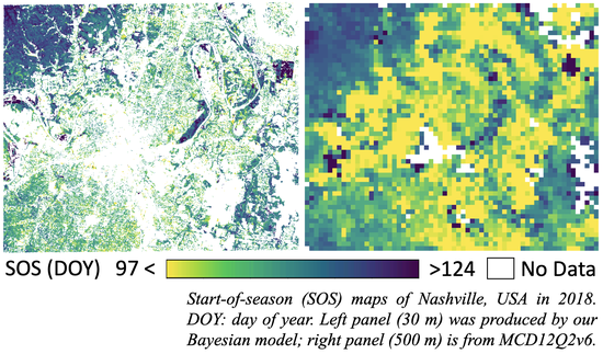
An Operational Multisource Land Surface Phenology Product from Landsat and Sentinel 2
NASA, PI: Mark A. Friedl, Co-PI: Josh Gray
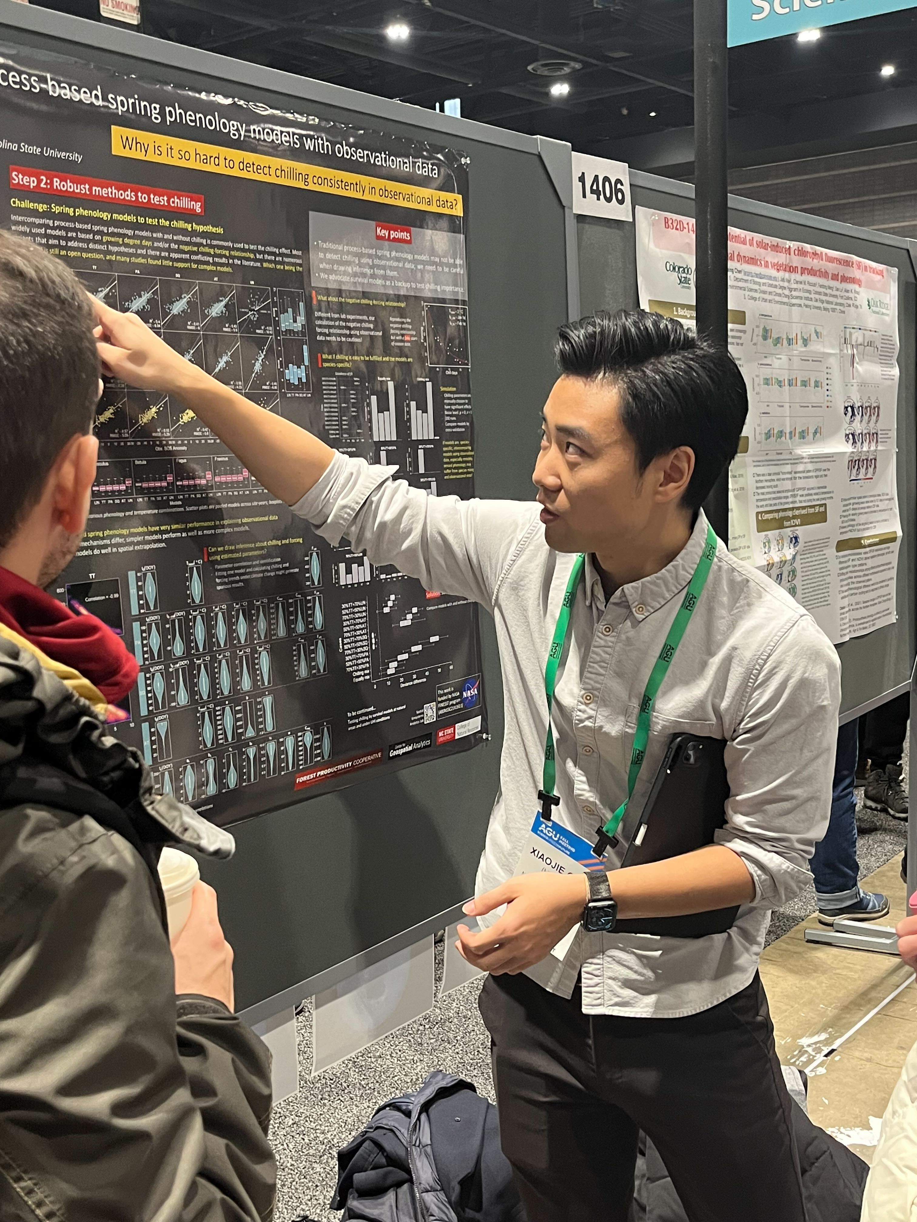
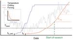
Does chilling explain the divergent response of spring phenology to urban heat islands?
This NASA-funded project aims to test the hypothesize that the divergent spring phenology trends in urban areas can be explained by the interaction between UHI-induced seasonal temperature changes and variable plant chilling requirements—the need of plants to be exposed to sufficiently low temperatures to release dormancy in spring.
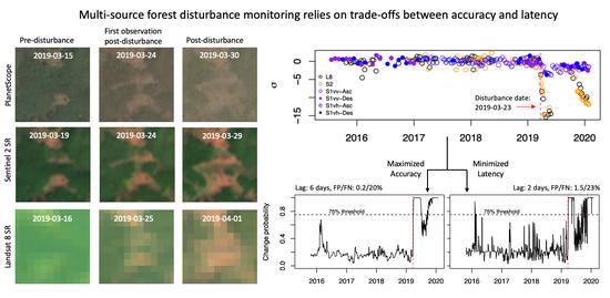
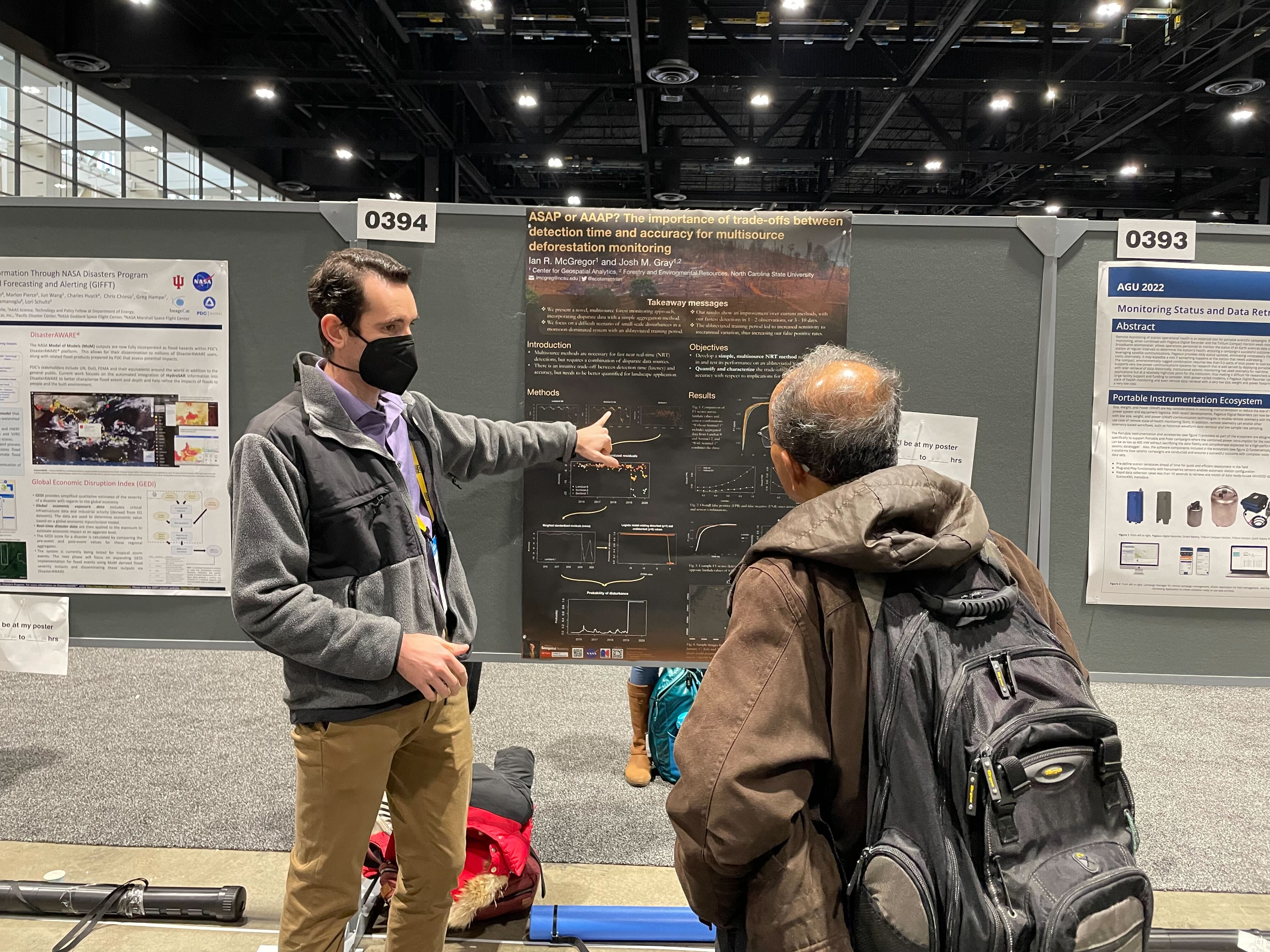
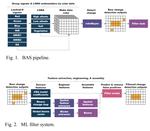
Improving Near Real-Time Deforestation Monitoring with a Novel, Multi-Source Bayesian Method
This NASA-funded project aims to develop a novel method of aggregating multi-source satellite data while accounting for trade-offs in temporal latency and spatial accuracy. We also incorporate Bayesian updating with the goal of creating a daily deforestation probability map.
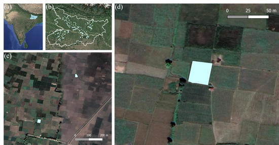
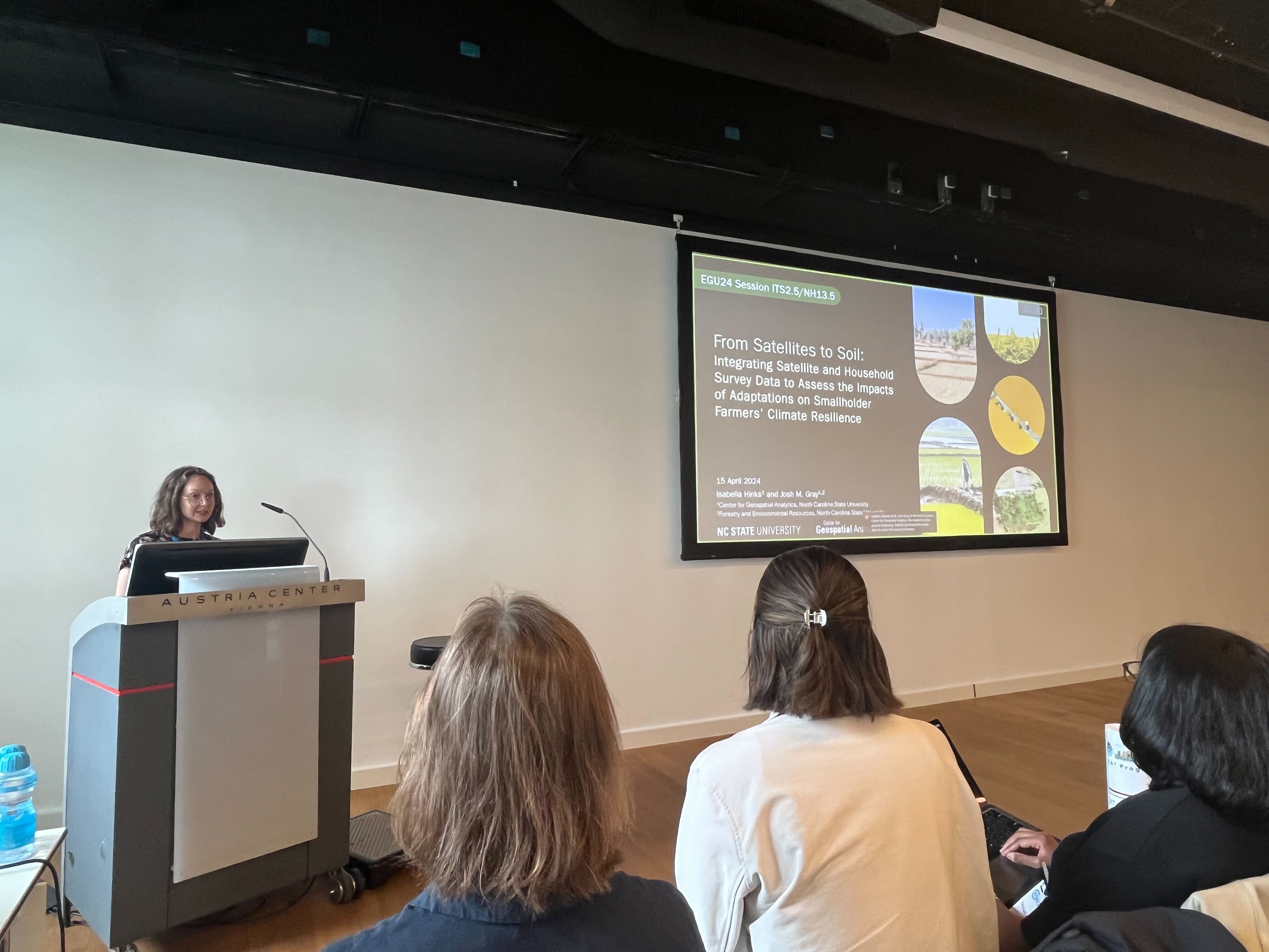
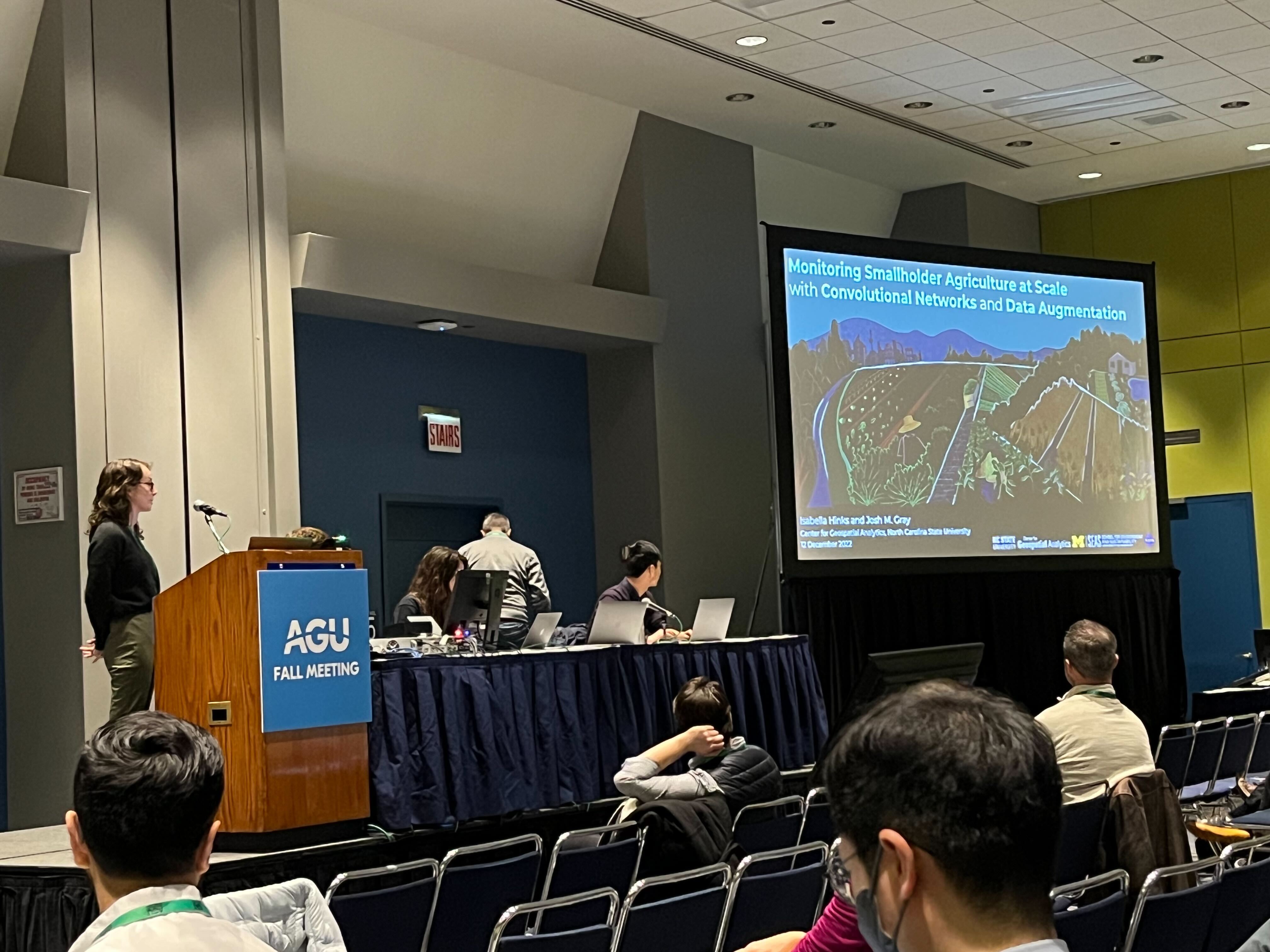
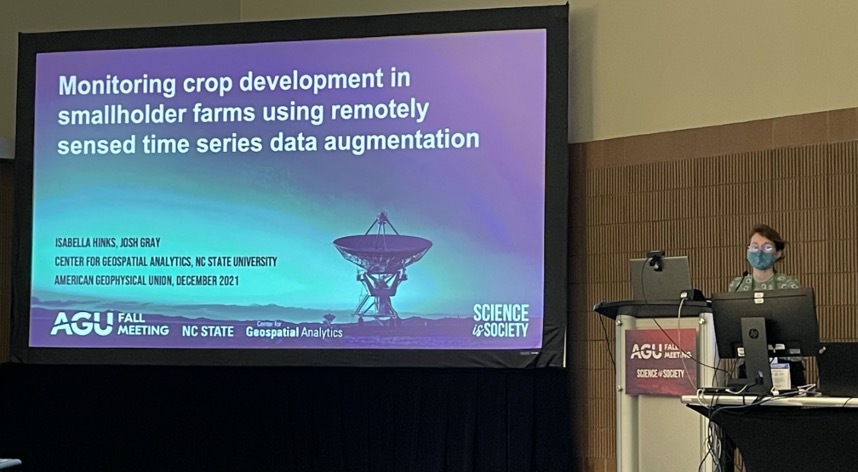
Climate Adaptive Agriculture in the EGP
Meeting future food demand while coping with climate change will require substantial adaptation in smallholder systems. The principal motivation for this investigation is to determine the adaptive potential of smallholder agriculture in North India, Bangladesh, and Nepal, where smallholder communities experience large crop yield gaps, underdevelopment, and widespread poverty.
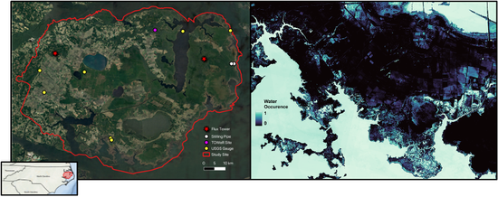
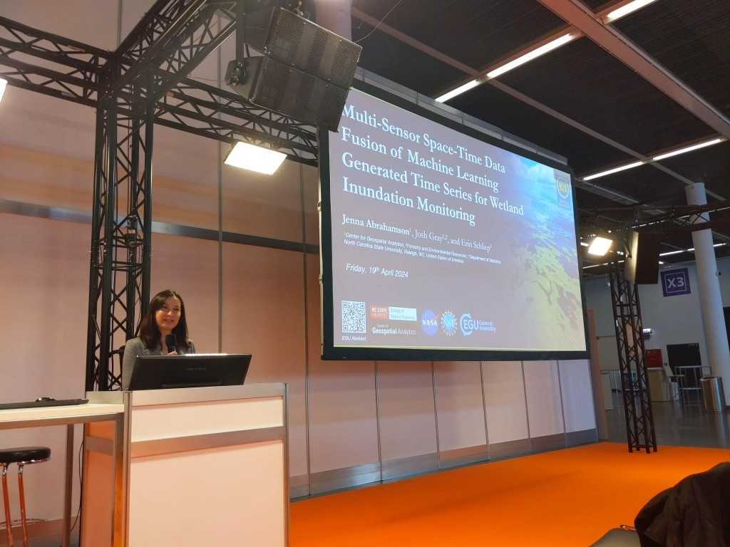
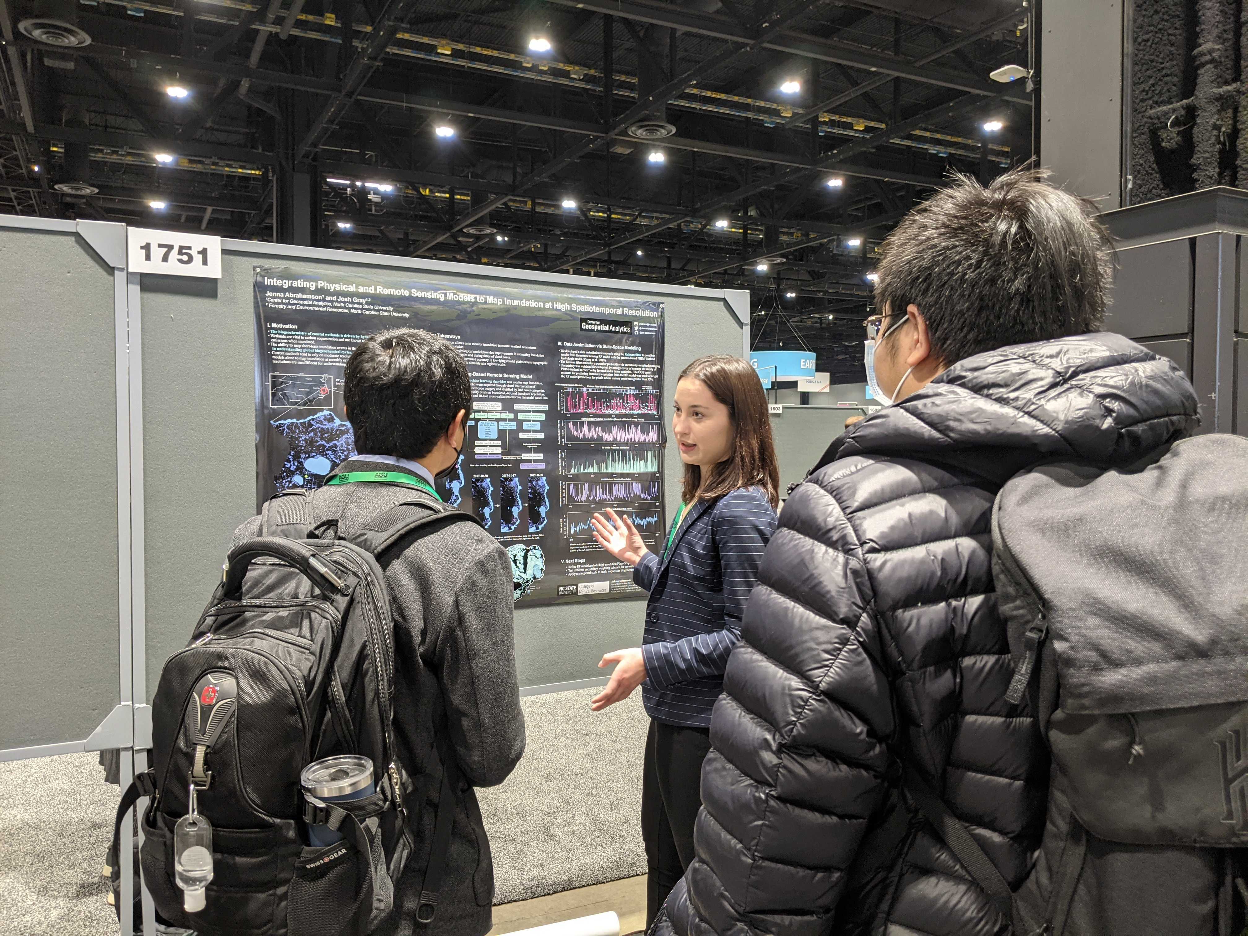
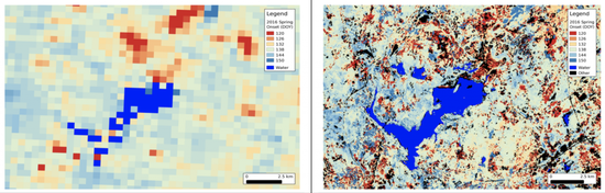
Integrating Remote Sensing with Physical Models to Map Inundation and Capture Methane Emissions
This NASA-funded project aims to develop machine learning and data fusion methods to determine how short-term changes in inundation influence methane emissions in a coastal wetland ecosystem and what that might mean in the context of global climate change and carbon cycling.
Recent publications
Highlights